AgEagle
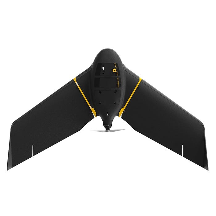
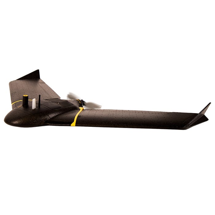
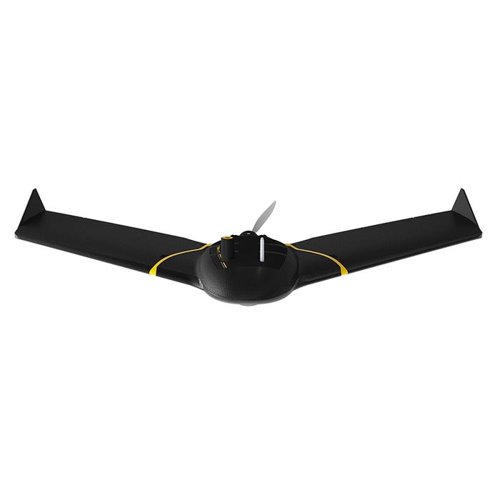
senseFly eBee X Fixed-Wing Drone
senseFly eBee X Fixed-Wing Drone
Regular price
$1.00 USD
Regular price
Sale price
$1.00 USD
Unit price
per
Shipping calculated at checkout.
Couldn't load pickup availability
DESCRIPTION
How To Get A Quote:
Option 1:
“Contact Us to make sure you are getting the best unit possible. These machines are complex so let us help you get exactly what you need!
Option 2: (quickest response times)
Step 1. Add the item to your cart
Step 2. Checkout or Click on the Chat button box that is at the bottom right of your screen
Step 3. Please tell us any info you think we would need to know
Step 4. Relax, our team is processing your request and an expert will be in touch to get you exactly what you need!
- senseFly eBee X Drone
- 2.4 GHz USB radio modem for data link
- 2x eBee X Standard Flight Batteries
- 1x Smart Charger
- 3x Propeller
- 10x Rubber Band
- All associated cables
- Hard Case