AgEagle
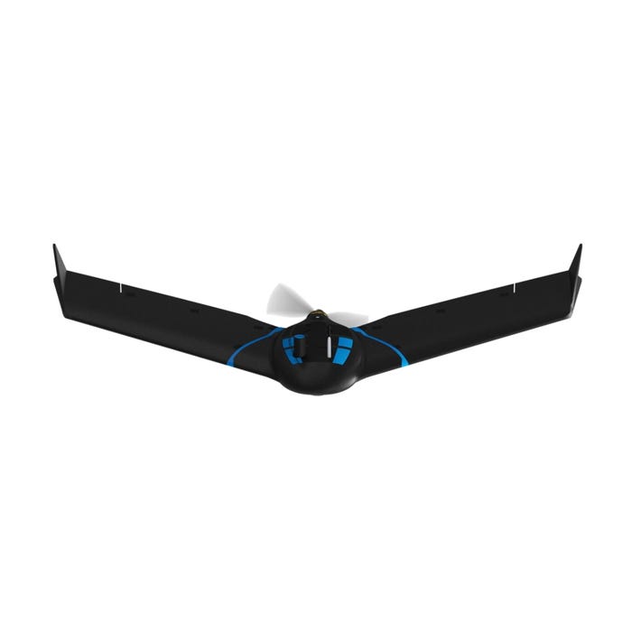
senseFly eBee Geo Fixed-Wing Drone
senseFly eBee Geo Fixed-Wing Drone
Regular price
$1.00 USD
Regular price
Sale price
$1.00 USD
Unit price
per
Shipping calculated at checkout.
Couldn't load pickup availability
DESCRIPTION
To get a quote please:
The best way is to add this to your cart and check out. When checking out please use the address the product is going. An expert will contact you to go over all your options to ensure you’re getting the perfect machine for you!
OR
Email, Text or Call us to get a quote. These are complicated machines and we want to make sure the version you are getting is exactly what you need!
- 1x eBee Geo drone
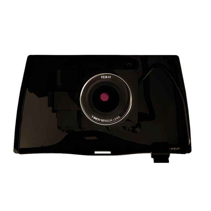
- 1x senseFly S.O.D.A. camera
- 1x Ruggedized backpack
- 2x Spare propellers
- 10x Spare propeller attachment rubber bands
- 2x Standard eBee Geo Li-Po batteries
- 1x Li-Po battery charger
- 1x Spare Pitot Kit
- 1x USB Ground Modem
- 1x USB Cable